A multi-lab Python pipeline over federal event data. Gradient boosting / XGBoost for the operational score, guarded by a leakage inspector. Authenticated FastAPI service and an operator console.
All systems
Research prototype · Environmental intelligence
A clearer windowbefore flooding compounds.
Hyperion brings rainfall, tide, terrain and urban exposure into one operational view, helping people see a fast-changing flood event earlier and more clearly.
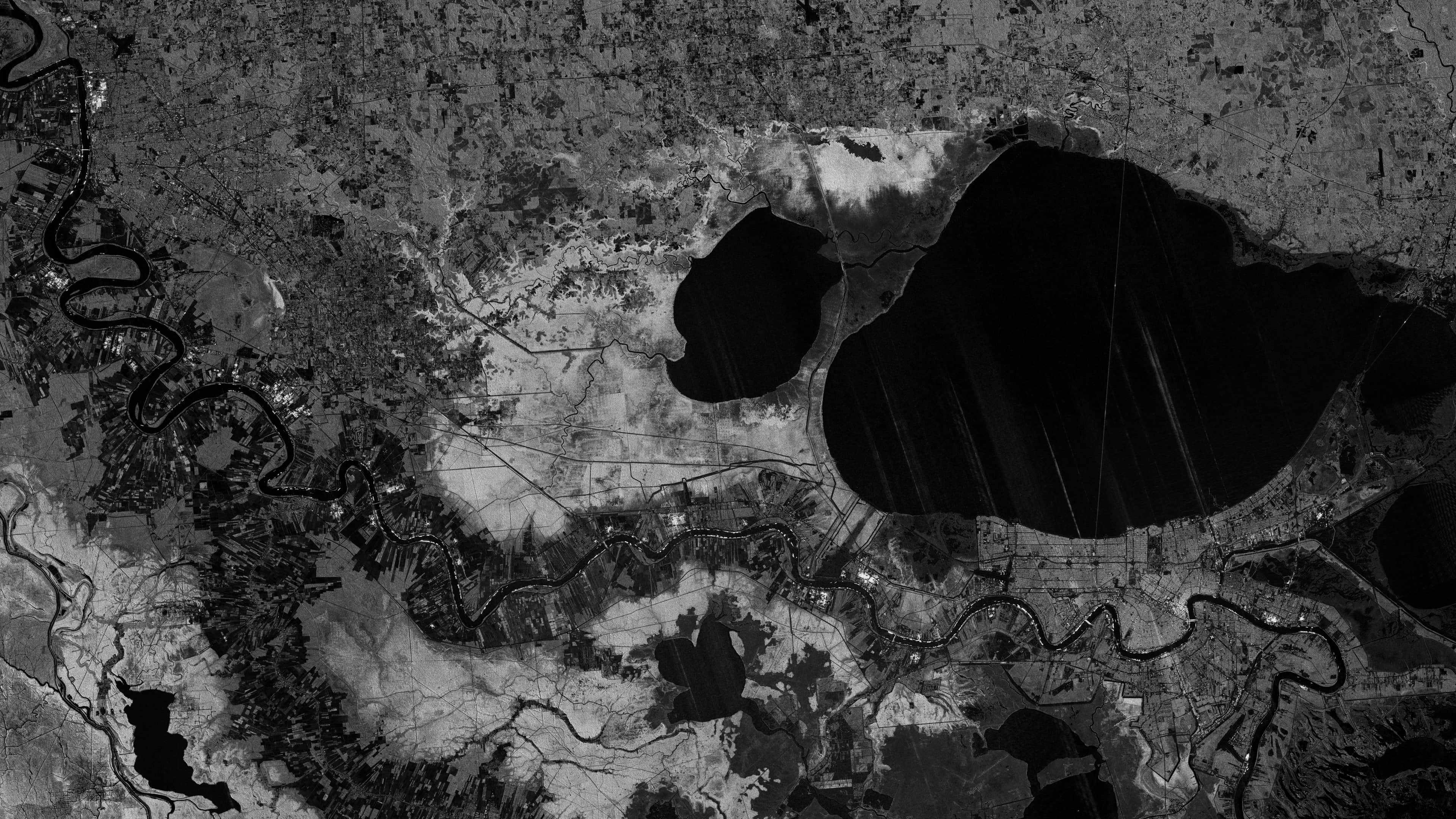
The operating question
A flood event is several systems at once. Operators still receive rainfall, tide, and river as separate alerts.
The situation
Start with the real operation.
Flood decisions are often assembled from fragments: a rainfall warning, a tide chart, a river gauge, a static susceptibility map, and a forecast that does not make its limits clear. That fragmentation can create both delay and false precision at the moment an operator needs a coherent regional picture.
The system
Keep evidence beside action.
Hyperion brings rainfall, tide, terrain and urban exposure into one operational view, so a fast-changing flood event can be seen earlier and more clearly.
It reads rainfall, tidal loading, river response, terrain, drainage, and the built environment in one regional frame. Instead of treating those signals as separate alerts, it makes their interaction inspectable for the people deciding what to watch and where to prepare.
The product frame is a calibrated 0–6 hour regional nowcast with visible uncertainty. It does not claim street-level, deterministic prediction. Florida, the Big Bend, and Louisiana are the first reference regions.
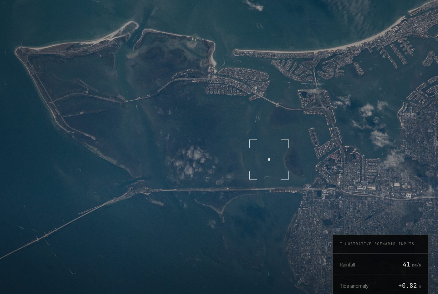
Interface evidence
See the system, not a substitute for it.
Where it stands
Research prototype
The modelling stack is being developed as a data and operations pipeline across the first-phase US regions. Its outputs are designed to show uncertainty rather than hide it.
The current product frame is an approximately 0–6 hour regional nowcast. It does not claim deterministic, address-level prediction at any horizon.
04 / Limits
Human and technical boundaries stay visible.
The current frame is an approximately 0–6 hour regional nowcast. It does not claim street-level, deterministic prediction.
Continue